

Utah does waterfalls differently. You get alpine drops in the Wasatch, creek-fed falls in red-rock country, and a few gloriously strange combinations involving hot springs. I would not pick these hikes by waterfall height alone. Distance and elevation tell you how much trail you're actually buying, while season, water flow, footing, exposure, and access rules determine whether the bargain is any good.
I built this list around the 15 Utah waterfall hikes I would put on a trip-planning shortlist, checking current agency information where available. Trail conditions change, especially around snow, creek crossings, flash floods, and seasonal water flow, so check the relevant land manager before leaving home. My distances below are round-trip figures unless noted otherwise, and my time ranges are deliberately less optimistic than the person who jogged past you carrying one liter of water.
My Utah waterfall rule
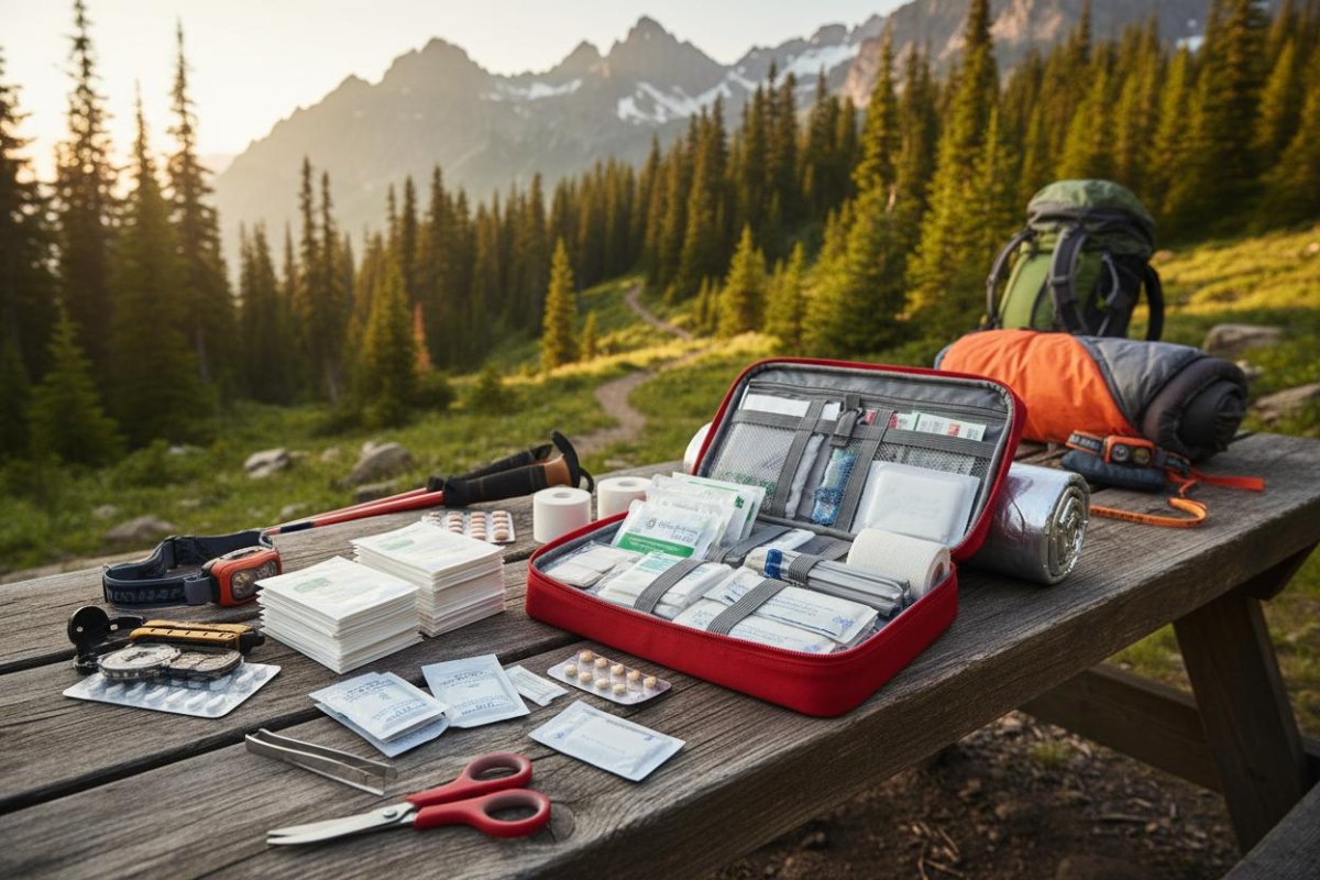
Carry navigation, a headlamp, sun protection, first-aid supplies, extra water, food, and a layer even on the short hikes. Waterfalls make people underestimate the walk home.
Stewart Falls
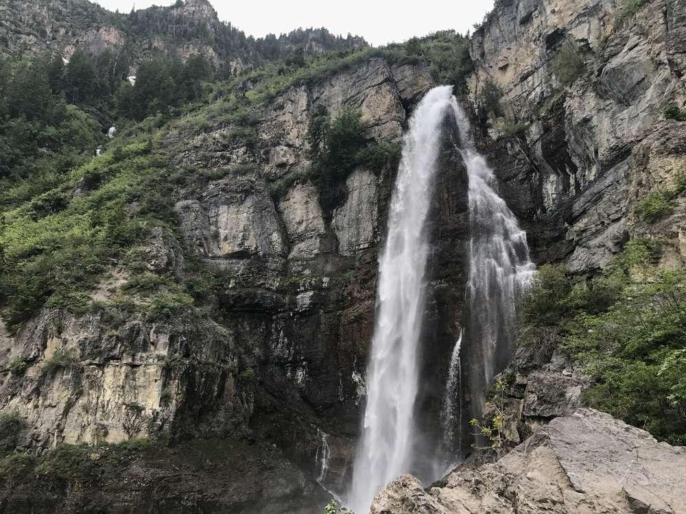
Stewart Falls is the classic Mount Timpanogos-area waterfall hike, and I understand why it stays popular. The route moves through forest toward a two-tiered cascade with the sort of mountain scenery that makes the final approach feel earned. Plan roughly 3.5 miles round trip and expect a sustained but manageable climb rather than a flat stroll.
I would give a typical hiker about 2 to 3 hours, longer if the trail is snowy or muddy. The gain-per-mile is enough to notice on the way back, and wet roots and loose footing are more important than the word easy in a trail description. Turn around before weather or daylight becomes the deciding factor, particularly if you're hiking late in the day.
At a glance
- Difficulty: Moderate
- Typical distance: About 3.5 miles round trip
- Tread: Forest trail with roots and uneven sections
- Best payoff: A substantial mountain waterfall
Donut Falls
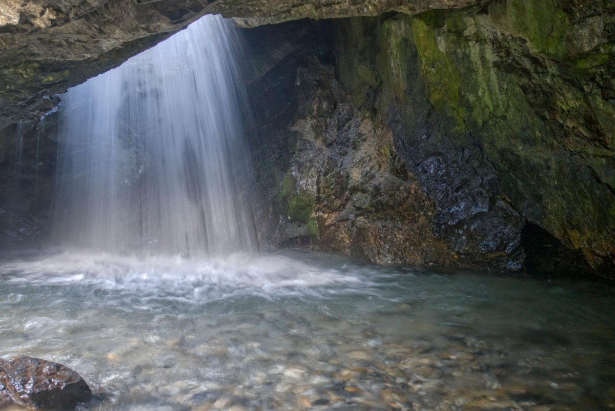
Donut Falls is short, photogenic, and consequently very good at making people forget that wet rock is still slippery rock. The waterfall drops through a distinctive opening in the sandstone, creating the feature everyone came to see. The summer route is roughly 1.5 miles round trip, although winter access can become substantially longer and more complicated.
I would budget 1 to 2 hours because the distance is not the whole story. Near the falls, the route becomes rougher and the rock can be wet. Do not climb blindly into the waterfall just because someone in front of you did; the view is not worth turning a short hike into a rescue problem.
The slippery bit matters
Waterfall rock can be slick even when the rest of the trail is dry. If conditions make the final approach uncomfortable, the correct distance from the falls is farther away.
Lower Calf Creek Falls
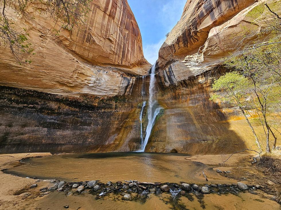
This is the desert waterfall hike I would protect on a southern Utah itinerary. Lower Calf Creek Falls sits at the end of a 6-mile round-trip trail beside Calf Creek and drops 126 feet into a sandy canyon. The BLM specifically notes sandy sections, summer heat, and the need to carry adequate water.
That sand changes the math. I would allow 3 to 4 hours for a normal hiking pace, with more time in hot weather. The waterfall itself is the payoff, but the creek corridor is part of why the hike works. Start early in warm months, and make your turnaround decision based on water and heat rather than stubbornness.
| Trail detail | What I would plan for |
|---|---|
| Distance | 6 miles round trip |
| Waterfall | 126 feet |
| Surface | Developed trail with sandy sections |
| Time | About 3 to 4 hours |
Provo River Waterfalls
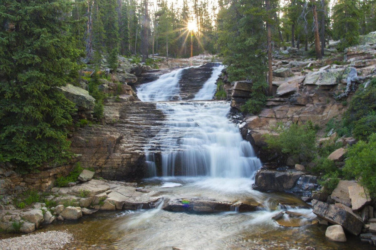
The Provo River corridor is a different proposition from the big destination hikes: several waterfalls and cascades can be reached without committing to a long backcountry-style outing. I like it for a day when the objective is waterfall scenery with flexible mileage rather than one heroic destination.
Because access points and individual waterfall routes vary, I would check the current Forest Service road and trail information before choosing a specific stop. Water levels change the experience, particularly during snowmelt, so keep your feet out of fast-moving water and don't treat a roadside cascade like a swimming hole.
Battle Creek Falls
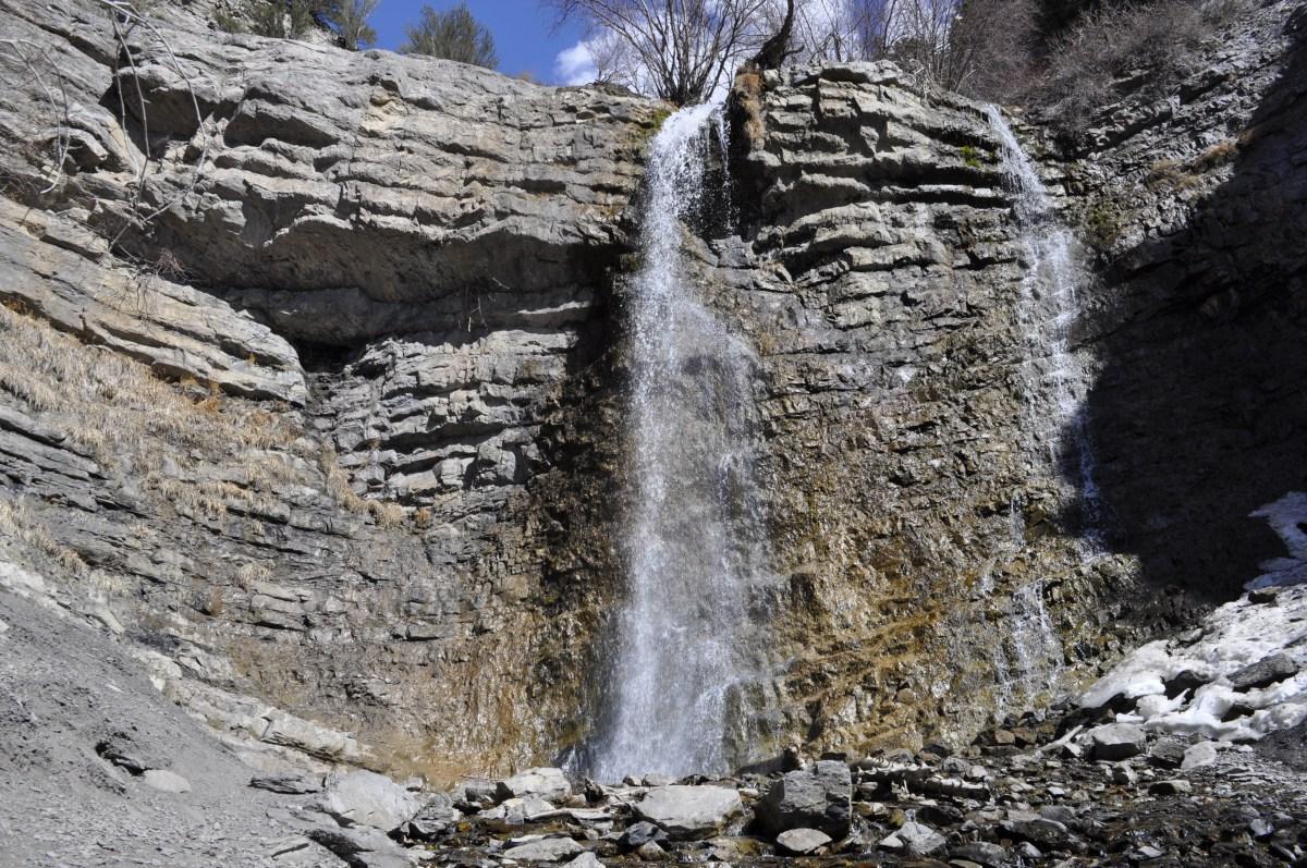
Battle Creek Falls is one of the easiest ways to get a proper waterfall without spending half a day hiking for it. The commonly used lower route is about 1.2 miles round trip, following Battle Creek before climbing toward the falls.
The short mileage can fool you into bringing short-hike supplies. I wouldn't. The canyon can get warm, footing changes near the falls, and the trail continues well beyond the waterfall if you decide to keep going. Pick your endpoint before you start; adding miles because the trail happens to continue is how a quick outing becomes a late one.
Why I like it
- Short round trip
- Obvious waterfall objective
- Easy to combine with other Utah County plans
What catches people
- Steeper footing near the falls
- Limited shade in places
- Easy to accidentally extend the hike
Kanarra Falls
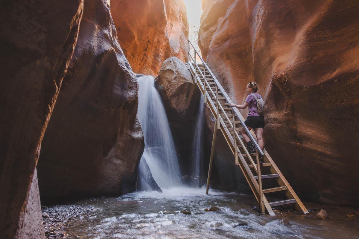
Kanarra Falls is where my definition of a waterfall hike needs an asterisk. The route enters a narrow red-rock canyon and involves water crossings, ladders, and scrambling, with the falls encountered inside the canyon rather than beside a conventional dry trail. Current trail information continues to describe the route as a roughly 3.5-mile outing and notes that permits are required.
I would allow 3 to 4 hours and wear footwear that can handle getting wet. Flash-flood potential is the serious issue here, not whether your socks survive. Check the forecast before entering the canyon, and never use the presence of other hikers as evidence that conditions are safe.
Canyon weather is not optional homework
Do not enter a narrow canyon when thunderstorms or significant runoff could create flash-flood danger. A clear sky directly overhead does not guarantee a safe canyon upstream.
Emerald Pools Waterfalls
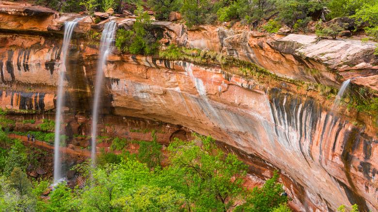
Emerald Pools is less about one giant waterfall and more about a sequence of water features tucked into Zion's sandstone walls. The current National Park Service information puts the Lower, Middle, and Upper sections at 1.2, 2.2, and 1 mile round trip respectively, with steeper grades and some drop-offs as you move higher.
I prefer treating the pools as a menu. Lower is the shortest option; Middle adds a steeper climb and unpaved sandstone; Upper adds more rocky, sandy terrain. Do not enter the pools, and remember that waterfall flow can be seasonal. Zion's current guidance says swimming is not permitted.
2.2 mi
Round trip for the Middle Emerald Pools Trail
Fifth Water Hot Springs and Waterfalls
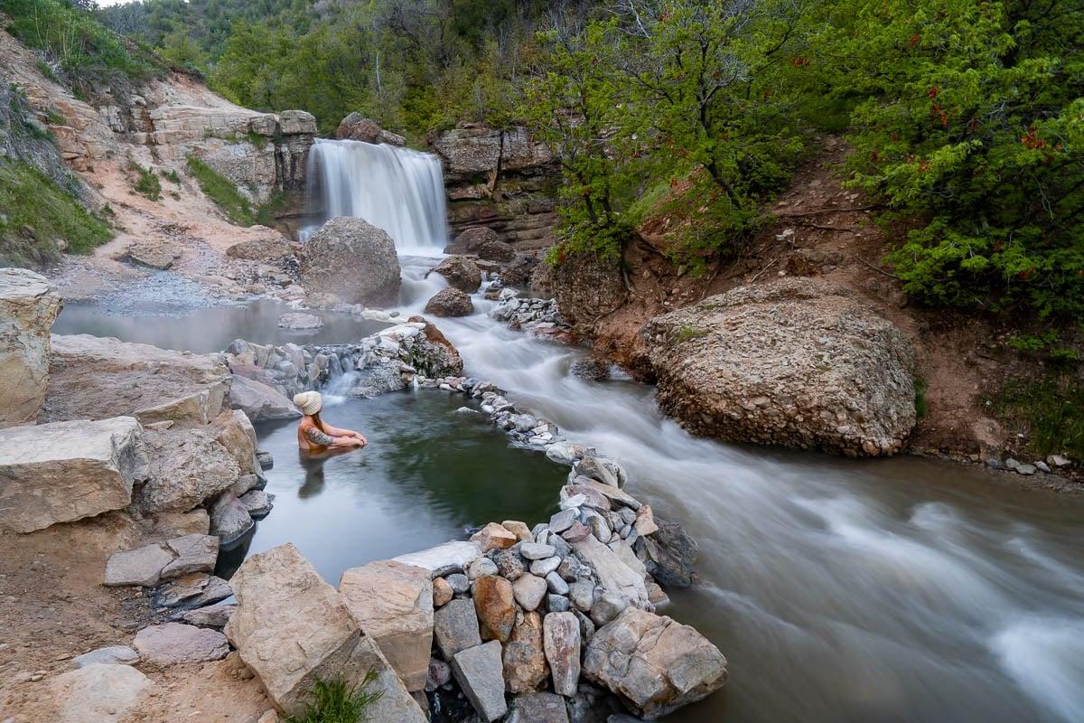
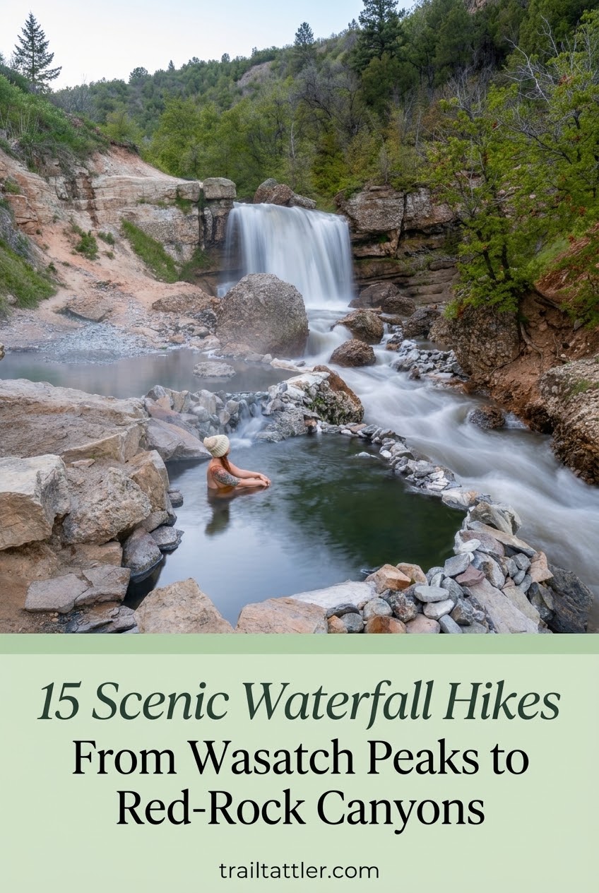
Fifth Water is the Utah hike that refuses to choose between waterfall and hot spring. The standard summer outing is about 4.5 miles round trip, following the creek toward several waterfalls and the famous soaking pools. Recent trail information puts the elevation gain around 600 to 700 feet depending on the route data used.
It is popular enough that parking and crowding are part of the logistics, not an afterthought. I would budget 3 to 4 hours and arrive early when possible. Don't treat the pools as sterile spa water; you're in a natural setting, and current conditions, water quality, and closures deserve a check before soaking.
The real attraction
The waterfall is only half the reason to come. The creekside walk, multiple cascades, and hot pools make this one of Utah's more unusual single-day combinations.
Adam’s Canyon Waterfall
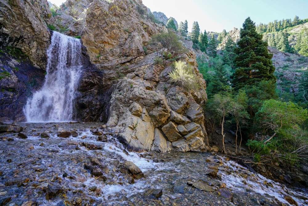
Adams Canyon packs a surprising amount of climbing into a short-looking Wasatch Front hike. The commonly reported route is 3.8 miles round trip with about 1,400 feet of gain, ending at a roughly 40-foot waterfall.
That works out to roughly 368 feet of gain per mile, which is the number I want in your head rather than a vague moderate label. The opening switchbacks are exposed, while the canyon becomes shadier and follows the creek with crossings. Budget 3 to 4 hours for a typical hiker and expect the return climb to feel more substantial than the waterfall photo suggests.
| Metric | Trail reality |
|---|---|
| Round trip | 3.8 miles |
| Elevation gain | About 1,400 feet |
| Gain per mile | About 368 feet |
| Typical time | 3 to 4 hours |
Waterfall Canyon
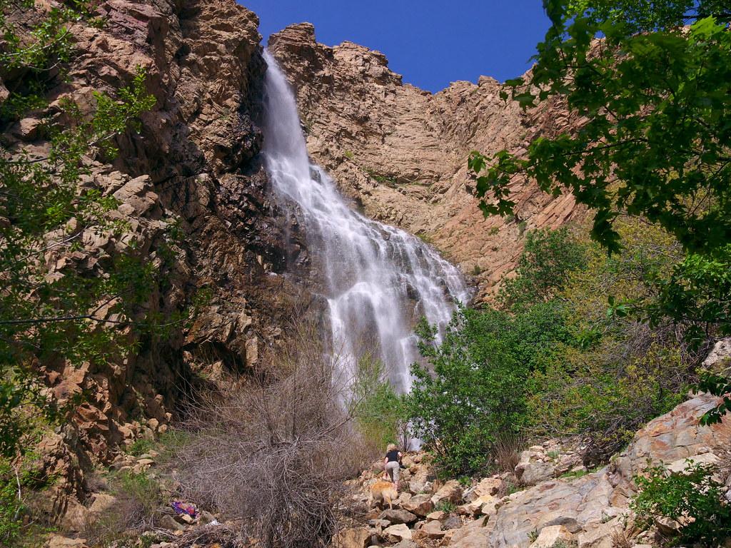
Waterfall Canyon in Ogden is short enough to underestimate and steep enough to punish that mistake. The route is about 2.4 miles round trip, with roughly 1,100 feet of climbing on common route data, ending beneath a waterfall around 200 feet high.
The final section is the tattling part: loose, rocky terrain and stream crossings can make the last approach considerably slower than the first mile. Stay away from the cliffs around the waterfall; local trail information specifically warns against climbing there. I would allow 2 to 3 hours and wear shoes with reliable grip.
The mistake to skip
Do not judge this hike by its mileage. A short route with more than 1,000 feet of gain is a different animal from a flat 2.4-mile walk.
Bell Canyon First Waterfall
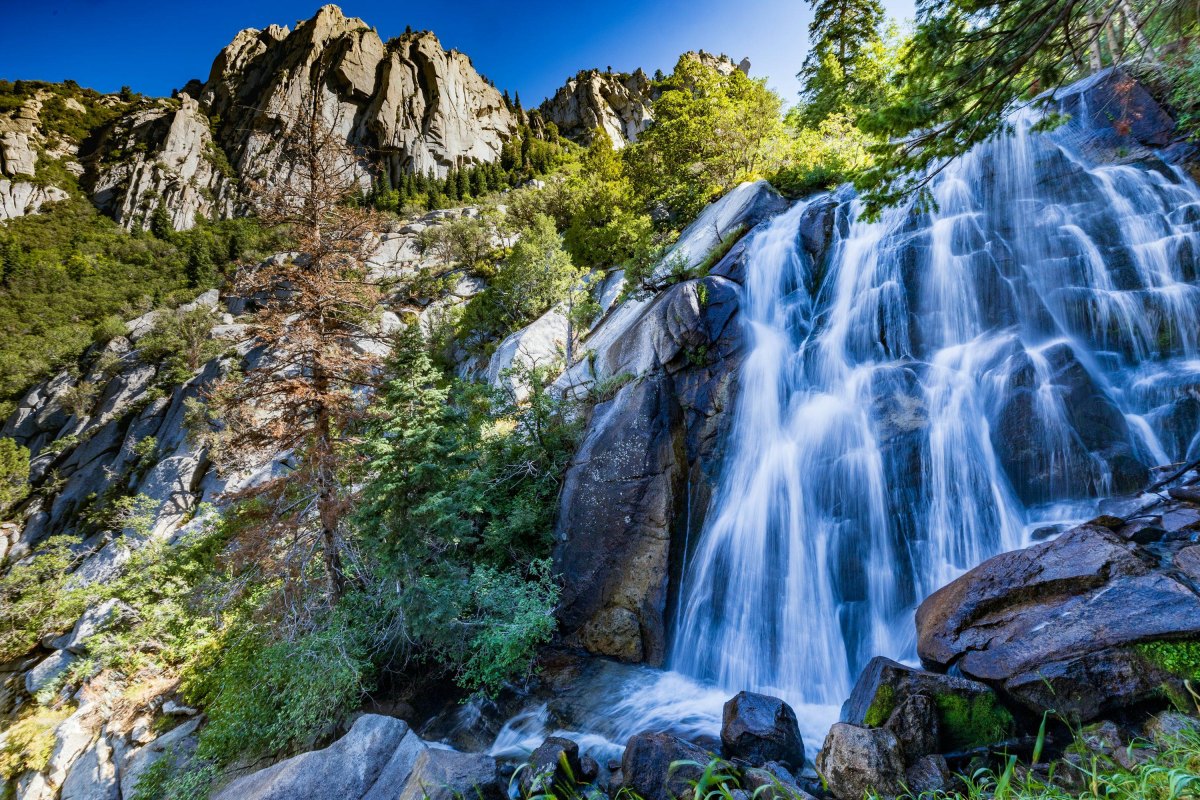
The first waterfall in Bell Canyon is a good example of a hike where the route is more demanding than the waterfall's proximity to Salt Lake City suggests. The lower canyon route involves a substantial climb on rocky, uneven Wasatch terrain, with the waterfall reached before the trail continues farther up the canyon.
I would plan around 3 to 4 hours for the commonly used first-waterfall outing and expect the return to take work. Loose rock and exposure deserve attention, especially near the creek and waterfall. If snow or ice is present, I would rather turn around early than turn a waterfall outing into an improvised traction test.
Scout Falls
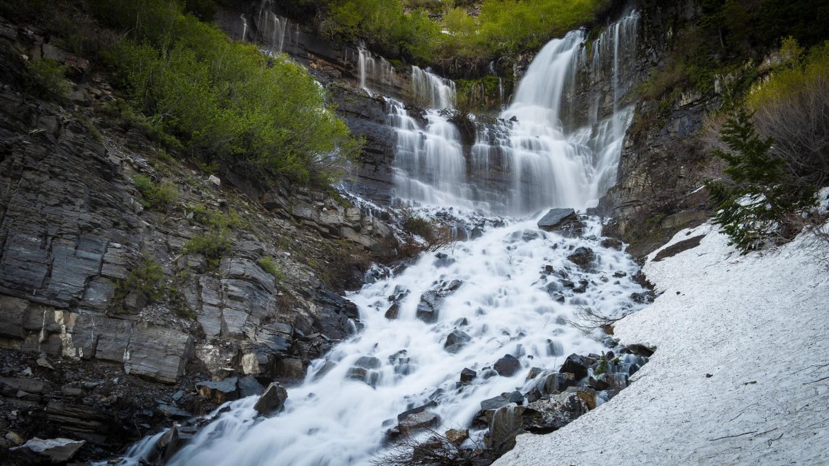
Scout Falls sits on the Mount Timpanogos route and makes a useful waterfall objective for hikers who want to sample the mountain without committing to the summit. The approach is commonly treated as about 2.6 miles round trip, but snow, seasonal conditions, and the exact starting point can change the practical outing.
This is a higher-elevation hike than the lowland waterfall options, so weather deserves more respect. Lightning and sudden mountain weather are not theoretical problems, particularly as you climb into more exposed terrain. I would give a typical hiker roughly 2 to 3 hours and turn back while the route still feels comfortably within the daylight and weather window.
Mossy Cave Waterfall
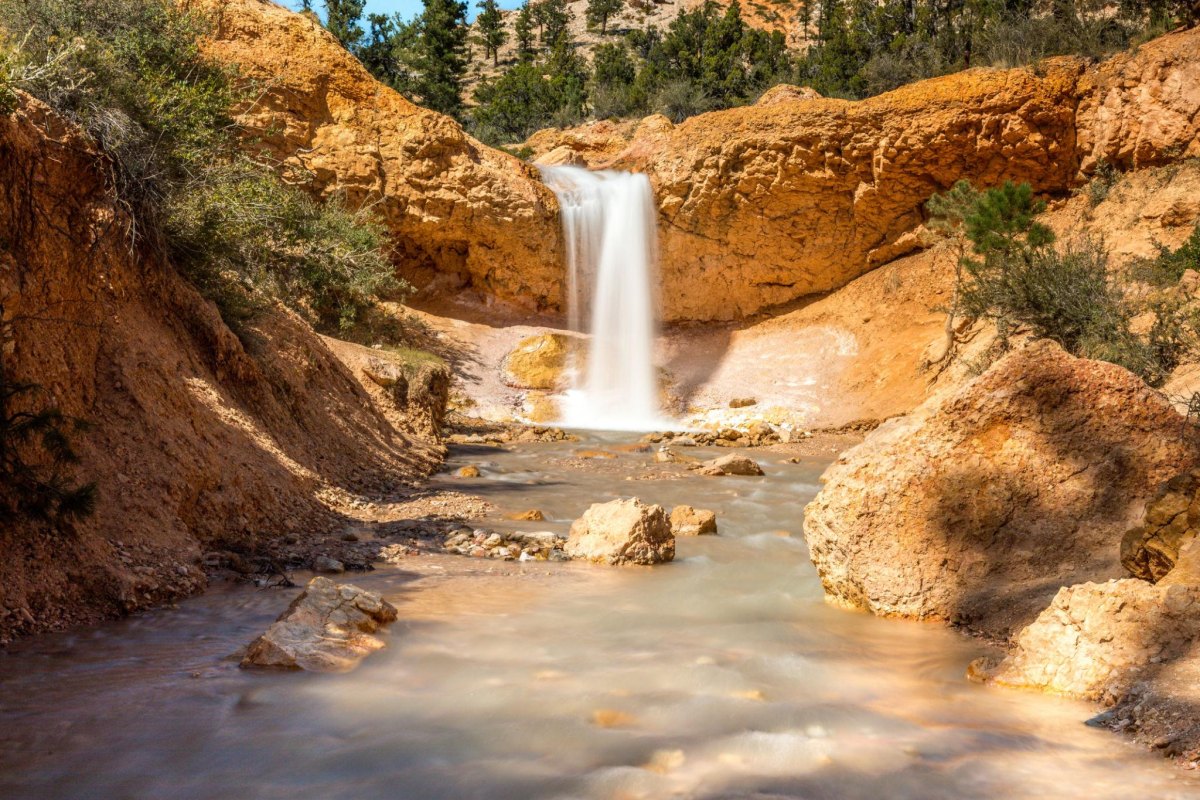
Mossy Cave is the cheat code on this list if you want a waterfall without spending your afternoon earning it. Bryce Canyon National Park lists the hike at 0.8 mile round trip with 150 feet of elevation change, and the National Park Service describes it as one of the park's lowest-elevation and easiest hikes.
The waterfall is seasonal, with the park noting flow from May through October, while the overhang becomes an icicle scene in winter. Go early for a better experience; NPS currently warns that this small trail gets extremely crowded and recommends avoiding roughly 10 a.m. to 6 p.m. Pets are not permitted on the trail.
One of the park's lowest elevation and easiest hikes
National Park ServiceCascade Springs
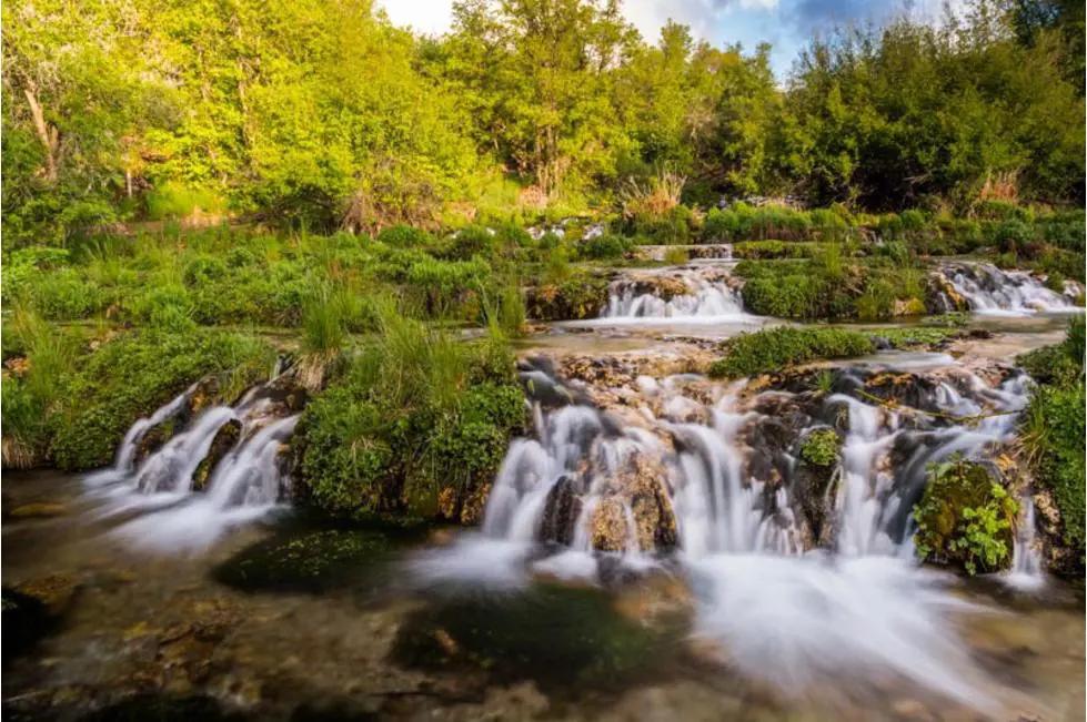
Cascade Springs is technically the least waterfall-like entry here, but I'm keeping it because the place is a terrific collection of springs, cascades, pools, and small drops. The interpretive loop is about 0.8 mile, and current information describes it as a paved, wheelchair-friendly setting with leashed dogs permitted.
This is the one I would choose for a low-commitment water day, especially with people who do not want a steep mountain hike. Don't confuse short with universally effortless; parts of the loop become steeper, and mobility needs vary. The springs also support abundant wildlife, so keep your distance and leave the water features alone.
Why it earns a spot
More than seven million gallons of spring water flow over the terraces each day, creating a constantly changing network of pools and cascades.
Bridal Veil Falls
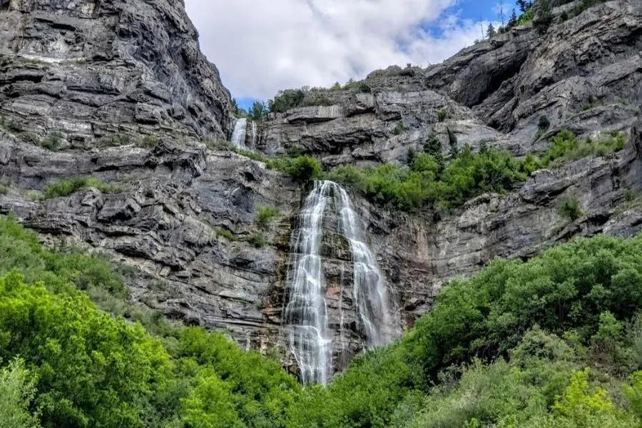
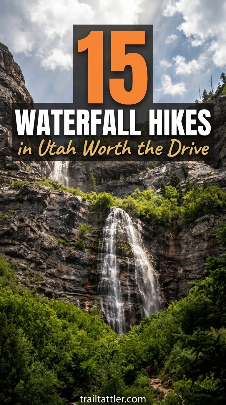
Bridal Veil Falls is the high-payoff, low-mileage option near Provo Canyon. The walk to the base is commonly listed at about 1.4 miles round trip with roughly 100 feet of gain, making it much more approachable than the steep waterfall hikes farther up this list.
I would budget 30 minutes to an hour for the basic walk, then add time because you will probably stop staring at the falls. Stay on the established path near the base and don't scramble up wet slopes for a better photograph. If I'm planning a mixed-ability day, this is one of the first Utah waterfall stops I'd consider because the effort-to-payoff ratio is excellent.
My quick pick
- Distance: About 1.4 miles round trip
- Elevation gain: About 100 feet
- Time: Roughly 30 to 60 minutes
- Best for: A short waterfall walk with a big visual payoff
More Pinterest Visuals



 Backpacking Gear & Packing12 Wandern Für Anfänger Packliste – Alles Für Einen
 Family HikingHiking With Kids Checklist for a Safer, Happier Trail Day
 Hiking Destinations17 Best Autumn Hiking Trails In Canada For Fall Color Season
 Backpacking Gear & PackingHiking Emergency Gear Checklist for Safer Days on the Trail